
Digital Image Processing
- Lecturer: Dr. G. Spreen und Dr. C. Melsheimer
- gunnar.spreen@uni-bremen.de
- melsheimer@uni-bremen.de
Lecture content:
Scientific analysis of digital images, especially satellite data. Introduction to image enhancement using filters, image segmentation, feature extraction and classification, Fourier transformation of digital images for analysis and filters in the frequency domain.
• In environmental physics/remote sensing: Multidimensional data, e.g.:
2D: Data from some area on the Earth surface
3D: Vertical profile data (atmosphere, ocean) of an area
3D: Multi-channel data of an area (MODIS, . . . )
• In order to understand and analyse them: Make them visible as images
• Process/analyse image
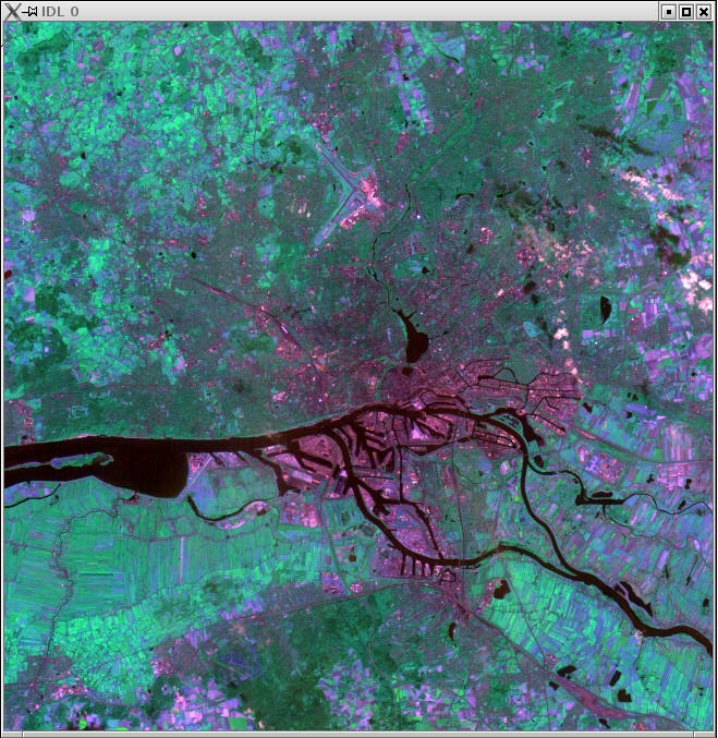
Example: Satellite image of Hamburg, wavelength 600-700 nm (from Indian Remote Sensing Satellite)